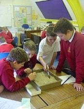
Pupils are invited to join an archaeological excavation, using slide 2-5 to set the scene. Before they can begin their preparations, they need to know where they are going (both the country and the location within the country) and what conditions to expect. They also need to convince the organisers that they know where to look for the tombs.
This will involve some useful atlas work. Pupils should be helped to locate Egypt on a world map and the river Nile within Egypt.
Learning objectives
- Pupils are able to locate the Nile valley on a world map & make deductions from map evidence.
- Pupils grasp importance of the Nile and significance of annual floods
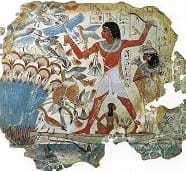
- They can explain that the Nile provided not only water for crops but also fertile soil, mud for bricks and pots, fishing, papyrus reeds and a key means of transport (especially important when moving the heavy

